Difference between revisions of "File:Chicksands - Google Maps 1258102342083.png"
(Screengrab of Google Maps view of Chicksands and showing Templer Way, named after British counterinsurgency theorist and activist, Gerald Templer) |
(No difference)
|
Latest revision as of 09:17, 13 November 2009
Screengrab of Google Maps view of Chicksands and showing Templer Way, named after British counterinsurgency theorist and activist, Gerald Templer
File history
Click on a date/time to view the file as it appeared at that time.
| Date/Time | Thumbnail | Dimensions | User | Comment | |
|---|---|---|---|---|---|
| current | 09:17, 13 November 2009 | 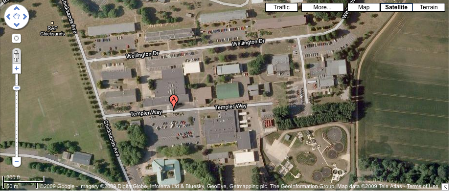 | 936 × 393 (947 KB) | David (talk | contribs) | Screengrab of Google Maps view of Chicksands and showing Templer Way, named after British counterinsurgency theorist and activist, Gerald Templer |
- You cannot overwrite this file.
File usage
The following page links to this file: